0
No products in the cart.
Design/Build


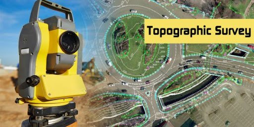
Topographic Surveys are used to identify and map the contours of the ground and existing features on the surface of the earth or slightly above or below the earth’s surface (i.e. trees, buildings, streets, walkways, manholes, utility poles, retaining walls, etc.). If the purpose of the survey is to serve as a base map for the design of a residence or building of some type, or design a road or driveway, it may be necessary to show perimeter boundary lines and the lines of easements on or crossing the property being surveyed, in order for a designer to accurately show zoning and other agency required setbacks. Topographic surveys, may be required as part of real estate transactions, civil engineering design and construction projects, including:
Benefits
The benefits of a Scopus provided Topographic Survey are:
- Accurate base information for any planning project
- Allows for accurate calculations of stockpiling and volumes for civil works
- Fit-for purpose solution provided through our range of different technology
Quick Links
Contact Info
Shop No. 433, Progressive Point , Lalpur, Raipur (C.G.)
Mon - Sat: 7:00-18:00
Copyright © 2020 Designed by Renown Infotech. All rights reserved.


